Interactive Water Quality Dashboard - Now Available!
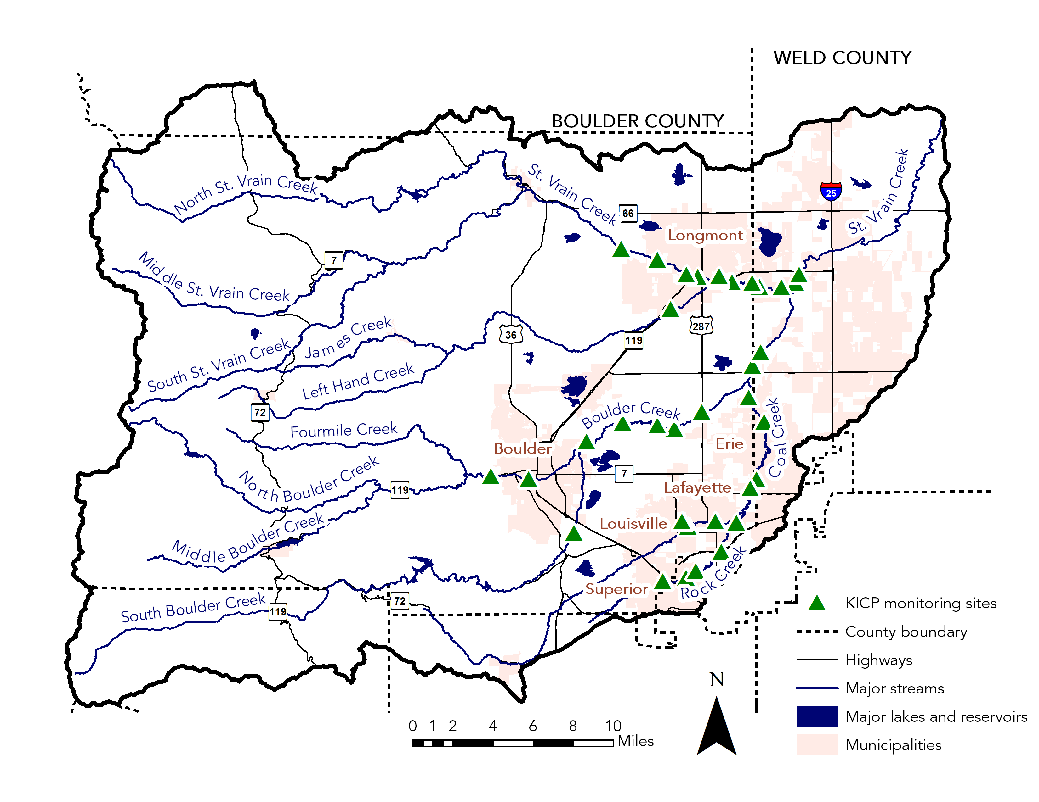
We are excited to announce that you can now explore the 15+ years of water quality data our partners have collected in the Boulder St. Vrain Watershed. This dashboard includes the 2023 Water Quality Report, our first report to be featured in this digital format.
On this dashboard you can:
- Scroll through the 2023 Water Quality Report, a curated report on the health of our watershed which includes data collected through 2023.
- Use the Explore tool to access graphical trends of all the key parameters we monitor, upstream-to-downstream by basin, aggregated annually and monthly by year.
- Check out our monitoring locations on the Map tool and see collected data by location on time series graphs.
Boulder St. Vrain Watershed Interactive Water Quality Dashboard
Boulder County aims to ensure all digital content and documents are accessible. While efforts have been made to maximize accessibility, some types of content have inherent technical limitations. For alternate formats or accommodations, please submit an ADA Web Accommodation Request Form or email [email protected], or call 303-441-1386. View the county’s accessibility statement.

